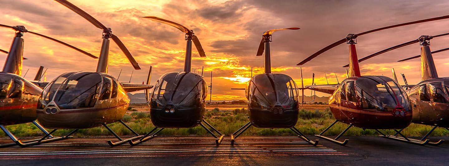
Precision Aerial Surveys and Photography in Albuquerque
Expert Aerial Observation in New Mexico
For sophisticated aerial data collection in New Mexico, including magnetometer surveys, LiDAR, and GIS mapping, Fair Lifts utilizes the unique low altitude and hover capabilities of modern helicopters. We also provide high end solutions for professional cinematography and photography, offering access to the latest stabilizing technology or door off configurations for handheld work. Whether you are documenting infrastructure near the Sandia Mountains or conducting environmental research, our technical knowledge ensures high quality results. Fair Lifts remains the premier choice for comprehensive aerial work solutions.
Aerial
Surveys
LiDAR, GIS Maps, FLIR, HD Video & More
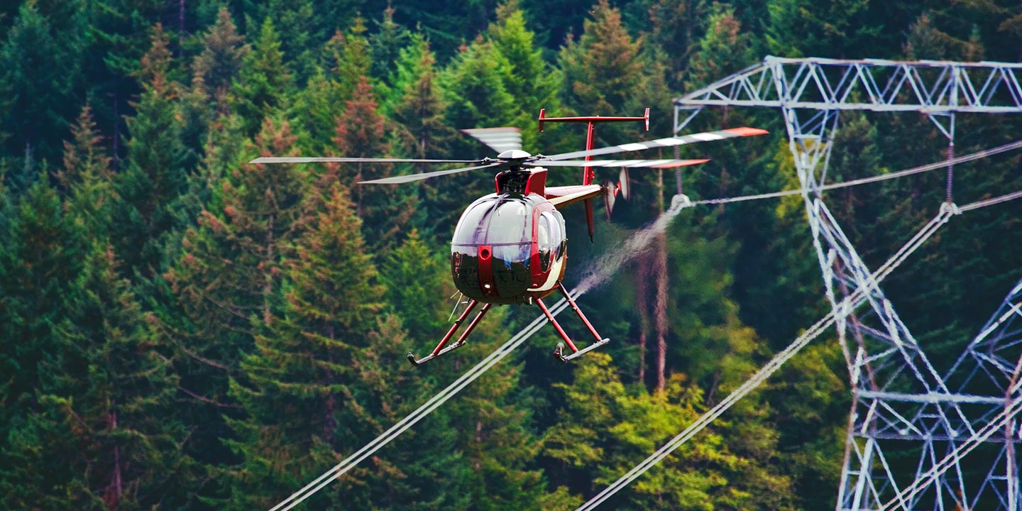
From pipeline inspections to ROW and transmission line patrols, Fair Lifts provides the specialized aircraft and equipment necessary for critical infrastructure projects. We ensure your mission is executed with technical accuracy and professional oversight across the New Mexico landscape.
High Tech Results
The Top Pilots in New Mexico, Today's Technology... Maximum Results.
Call 1-866-826-4826 Now!
Albuquerque Helicopter Charters provides the tools needed to complete your land surveys, utilizing the right equipment to provide the aerial photos that are often needed.
A professionally executed aerial survey simplifies the gathering of topographical data and the inspection of critical right of way sites. Helicopter operations are the gold standard for monitoring New Mexico infrastructure, including detecting pipeline leaks and identifying transmission line faults. Fair Lifts develops custom remote sensing and photographic missions designed to maximize both technical precision and financial efficiency. By leveraging advanced sensors and high definition imaging, we provide the actionable data necessary for successful commercial and industrial projects in the greater Albuquerque region.
Helicopters offer superior maneuverability by operating at lower altitudes and slower airspeeds than fixed wing aircraft, making them essential for precision surveying. While standard regulations often restrict fixed wing flight to higher altitudes, helicopters can safely navigate closer to terrain and infrastructure. This capability allows for the inspection of high risk or inaccessible zones, providing engineers with a critical perspective. Fair Lifts ensures that every mission in New Mexico adheres to rigorous safety standards while delivering the data you need.
There is no better way to conduct your visual survey, animal population counts, soil drainage analysis, ROW inspections, pipeline and transmission line inspections, and geographical surveys.

LiDAR Imaging
Light Detection and Ranging, or LiDAR, is a remote sensing method used to examine and measure New Mexico topography as well as objects, like vegetation, upon it.

Infrared Imaging
Thermographic IR cameras are used to detect radiation in the long-infrared range of the electromagnetic spectrum and produce images of that radiation, called thermograms.
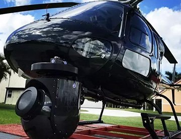
HD Video Gimbal Capture
Modern HD and 4K cameras can be mounted to helicopters, using the proper STCs, with a gimbal to stabilize photos & videos for detailed results.
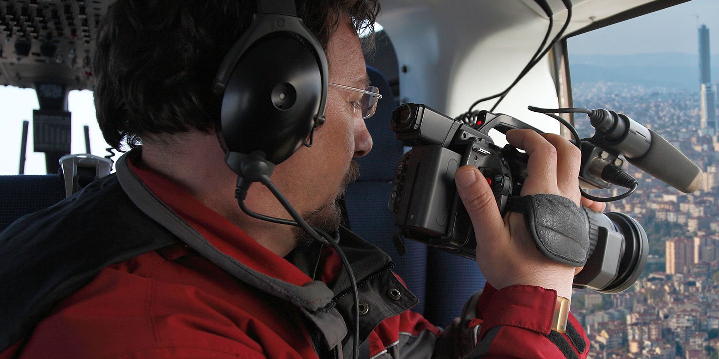
Professional Aerial Filming and Cinematography Solutions
For expert camera work in the Albuquerque Sky
Get a Fast, free QuoteAlbuquerque Aerial Cinematography
Fair Lifts provides comprehensive support for professional aerial cinematography throughout New Mexico. Our logistical network offers access to cutting edge technology, including gyro stabilized platforms like Cineflex, Wesscam, and Shotover. We facilitate the use of industry standard hardware such as RED Epic and Arri Alexa cameras to meet the rigorous demands of film, television, and high end commercial productions. Whether your project requires air to air sequences over the Sandia Peak or ground tracking shots for a documentary, we coordinate every detail to align with your Director of Photography's vision. Our expertise extends to a variety of specialized media operations, including promotional videos, major sporting event coverage, and even the use of helicopters as aerial props. By combining technical knowledge with a solution oriented approach, Fair Lifts ensures your production captures high quality visual data with maximum efficiency. From relief work for news networks to historical documentaries, we provide the professional flight coordination necessary to navigate the unique environmental conditions of the Albuquerque area and beyond.
Call Us Today at 1-866-826-4826 for a Free Quote
Contact Us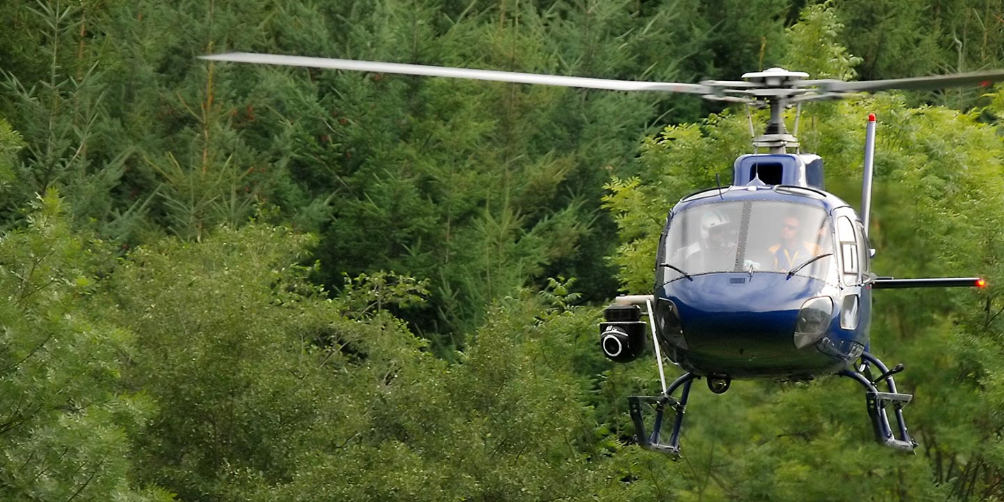
Aerial Photos
Hand-held or Mounted OpTions in Albuquerque
We will help you get the right equipment for your aerial photography project! Call 1-866-826-4826 today to get a fast, free quote.
The Most Options for Photography
The diverse landscapes of New Mexico, from the Rio Grande Valley to the high desert mesas, are best documented from a vertical perspective. Fair Lifts coordinates specialized aerial photography flights designed to help you capture precise imagery that meets your project requirements. We offer cost-effective solutions for both handheld projects using door off configurations and high stability missions utilizing advanced gyro mounts. The experts at Fair Lifts provide the technical support needed to achieve professional results for commercial endeavors. We deliver the aerial platforms necessary to showcase the unique scale of the Albuquerque region with absolute clarity.
Superior Service
Every one of our customers gets a dedicated helicopter expert to assist with flight plans, tech loadouts, production logistics, project schedules, and other demands.
Over 500 Aircraft
Our network of direct air partners extends well beyond Albuquerque, New Mexico. This allows us to offer a wide range of solutions for even the most sophisticated projects.
The Best Equipment
From high-tech sensors like LiDAR, FLIR, and GIS to HD cameras and movie production gimbals, we're here to make your job as easy as possible.